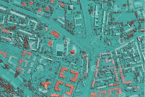
The significance of Geographic Information Systems (GIS) in public health has been highlighted throughout history, especially in recent times during the global COVID-19 pandemic. GIS provides a powerful tool for spatial analysis and visualization, helping public health officials better understand the geographic distribution of diseases, healthcare resources, and population health needs.
GIS has played a critical role in tracking and analyzing the spread of diseases, as well as predicting future outbreaks. This technology has been invaluable in managing the COVID-19 crisis, revealing imbalances between healthcare supply (hospitals and health workers) and demand (patients). GIS allows for real-time monitoring of communities and forecasting spatial changes in how communicable diseases may spread. This helps anticipate where health needs are likely to arise, enabling more efficient and effective allocation of healthcare resources.
One notable example of GIS application in public health is the National Health Service (NHS) in the UK, which uses a tool called HealthGIS for forecasting healthcare needs. The tool provides insights, although improvements in the speed of data capture are still needed to allow more rapid responses to public health changes.
The future of GIS in public health is likely to involve more sophisticated spatiotemporal modeling and analysis, along with better data sharing capabilities. Real-time tracking of infections and their forecasting will become increasingly important. It’s also anticipated that healthcare systems will need to adopt interactive, cloud-based GIS systems to facilitate the sharing of data in real-time across regions, thereby improving planning and coordination among healthcare workers. For instance, tools employing GIS-based Multicriteria Evaluation (GME) are seen as a likely direction for platform applications to address this need.
There’s an increasing call for a coordinated GIS database, not just at the country level but also encompassing multiple countries, particularly in vulnerable regions such as sub-Saharan Africa. Such a system would enhance real-time data sharing and monitoring capabilities, thus making it possible to manage public health crises more effectively.
I believe we are well on our way! The development of such systems requires significant efforts from countries and regions worldwide. While some, like the UK, have made substantial strides towards a developed GIS system at the national level, others, like India and regions in sub-Saharan Africa, need to invest more in this direction. It’s clear that coordination, data sharing, and real-time data provisioning and forecasting will be critical for health professionals to better handle major crises in the future.
GIS has been used for a range of public health applications, from mapping disease cases to identifying health catchment areas and analyzing healthcare accessibility. With GIS, public health officials can answer essential questions, such as where disease rates are higher or lower, how far it is to the nearest healthcare facility, and where to best locate a new healthcare facility or service.
We should heavily invest in GIS, as GIS is a crucial tool in public health, providing critical insights that help manage public health crises, optimize healthcare resource allocation, and plan for future health needs. As technology advances, GIS is expected to become even more integral to public health, offering more sophisticated modeling and analysis capabilities and facilitating better coordination and data sharing across regions.
There is still more research to be done on this topic, such as how different countries are applying GIS in public health and the specific challenges they face. Furthermore, it would be beneficial to explore in more depth the technical advancements expected in GIS systems and how these will further improve public health management.
